

InstantAtlas is a 3D modeling, converter, presentation tool, screen capture, and viewer & editor program that enables analysts and researchers to create visually engaging, dynamic, and profile reports by combining statistics and map data.
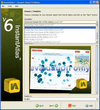
InstantAtlas is an interactive map and reporting program that enables information analysts and researchers to create highly-interactive dynamic and profile reports that combine statistics and map data to improve data visualization, enhance communication and engage people in more informed decision making.



Comments